GeoPackage Downloader
GeoPackage Downloader details:
- Select Layers
- Select Region
- Select Scale
- Notification Email
- Advanced Settings
- GeoPackage Details
- Generating and downloading a GeoPackage
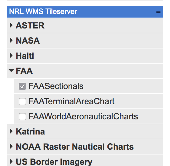
Selecting Layers
Click on a category title to view available layers. Multiple layers may be selected for inclusion in the downloaded GeoPackage.
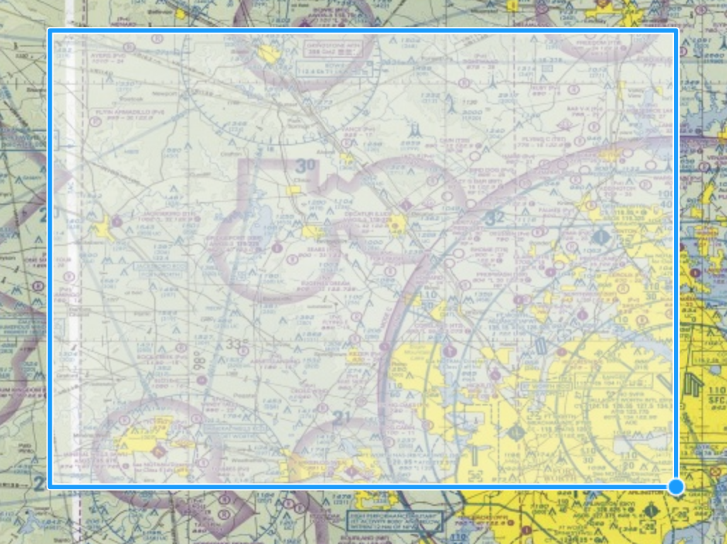
Select Region
To confine your GeoPackage to a specific bounding box, you can either draw a region on the map, or enter the region's boundaries in the Longitude Min, Longitude Max, Latitude Min, and Latitude Max fields.
- Coordinates should be entered in degrees.
Drawing a region:
To draw a region on the map, position your mouse at the top-left corner of your desired region, single-click, drag to the bottom-right corner, and single click again. This will automatically populate the Longitude Min, Longitude Max, Latitude Min, and Latitude Max fields.
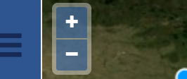
Select Scale
You may set a minimum and maximum Scale value for the GeoPackage. Scales from 1:74,000,000 (least detail, smallest file size) to 1:2,222 (most detail, largest file size) are supported.
By default, the Min and Max Scale is based on the map's current magnification. You can adjust the map's magnification by using the + and - buttons to zoom in and out.
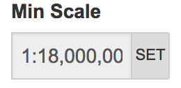
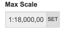
Setting Min and Max Scale:
To set the min/max scale fields:
- Zoom the map out the desired Minimum Scale using the - button
Click the SET button for the Min Scale field
- Repeat the process by zooming to the desired Maximum Scale using the + button.
Click the SET button for the Max Scale Field
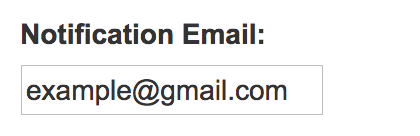
Notification Email
Receive a notification email with a link to your completed GeoPackage build. This can be useful when your GeoPackage configuration requires many layers over a wide area, requiring longer processing time to build.
Advanced
Profiles
The Profile dropdown menu allows you to use a profile other than the default NSG GeoPackage (EPSG:4326).
If there's more than 1 GeoPackage server required for your selection, then a profile dropdown will be displayed for each server.
Size Limit
This optional field allows you to set a maximum limit on total estimated size of your GeoPackage. GeoPackage generation is disabled if the current configuration exceeds that limit.
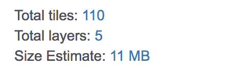
GeoPackage details:
This indicates the number of tiles, layers and estimated size of a GeoPackage created with the current configuration.
Generating and Downloading a GeoPackage:
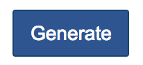
Select the Generate button to create a GeoPackage
This will open the Downloads tab, which indicates the Job ID and progress of your GeoPackage build. Once the build is complete, the progress bar will be replaced with a link to download your GeoPackage.
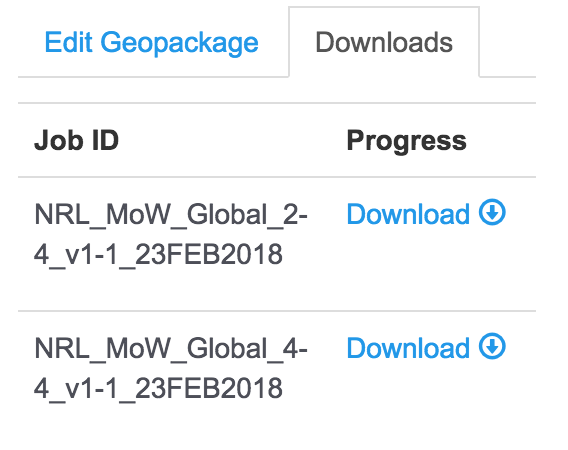
You can create additional GeoPackages by selecting the Edit GeoPackage tab. Download links to previously generated GeoPackages will remain under the Downloads tab until the page is closed or reloaded.